Sanborn Maps
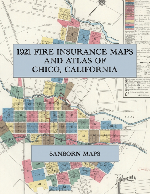
Facsimile of the 1921 Sanborn fire-insurance atlas of Chico, California, reproduced in full color from the Library of Congress copy. It covers the whole city of 10,000 people on Big and Little Chico Creeks, from the stores, hotels and banks of Main Street and Broadway and the Southern Pacific depot, through the flour and rice mills, fruit-drying yards, packing houses and lumber yards, to the State Normal School, Bidwell Park and the residential streets of Chico Vecino, Chapmantown and Barber with the Diamond Match Company’s works.The seventy-eight numbered sheets work block by block from the stores, banks, hotels and theatres along Main Street, Broadway, Second Street, Third Street and the City Plaza - the Municipal Building and central fire station, the Post Office, the Public Library, the Majestic Theatre, the Auditorium Hotel, the Hotel Oaks, the Park Hotel, the Chico Hotel, the Hallam House, the I. D. E. S. and W. O. W. halls and the Chinese Y. M. C. A. building - through the Southern Pacific depot and round house, the Northern Electric depot, the Sacramento Northern car barn, shops and yard, the Pacific Gas and Electric gas works and substations, the Chico Water Supply Company’s pumping stations and wells and the Chico-Vecino water works, the Sperry Flour Company’s Chico Rice Mill, the Blum and Northern Star flour and feed mills, the Bidwell Estate and Rancho Chico fruit-drying yards, the Reynolds dried-fruit packing house, the California Packing Corporation’s Plant No. 64, the Charge, Gansen and Butte County grain warehouses, the Chico and Polar ice plants, the Clough, Griswold and Adams lumber yards and the Clough and Milligan planing mills, the Chico Nursery and the Standard, Associated and Union oil stations, and the Diamond Match Company’s match factory, box factory, planing mill and lumber piles at Barber, to the Enloe Hospital and the Chico Sanitarium, the State Normal School and its Manual Training Building, the Chico High School and the Chapman, Rosedale, Salem Street, Oakdale and Nord Avenue schools, St. John the Baptist, St. John’s Episcopal, the First Baptist, Methodist and Presbyterian, the Christian, Lutheran and Brethren churches, Bidwell Park, and the residential streets of the Esplanade, Chico Vecino, Chapmantown and Barber.In 1921 the Sanborn Map Company of New York surveyed Chico for the fire-insurance trade, drawing the city at fifty feet to the inch. Every building is shown to scale and color-coded for construction (yellow for frame, pink for brick, blue for stone), with heights, uses, windows, party walls, hydrants, water mains and fire stations all marked. The index lists every street and every named business, church, school, hotel, mill and works with the sheet it appears on, and the key map places the colored sheet grid over the whole city.This Exile Books edition is an unabridged facsimile republication of the atlas: the title sheet, the report and index sheet with its block index, the key map and all seventy-eight numbered map sheets, printed at 8.5 x 11 inches on premium color paper. Ideal for local historians, genealogists, architects, preservationists and anyone tracing a Chico address back to 1921.