Sanborn Maps
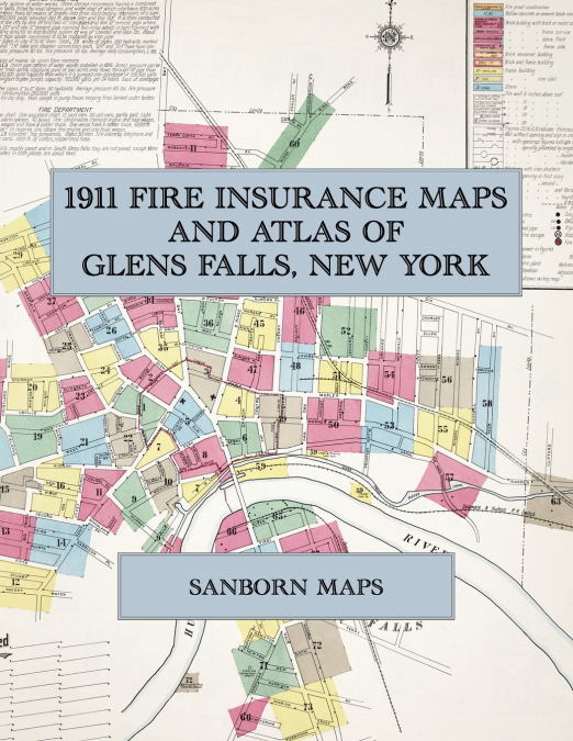
Facsimile of the 1911 Sanborn fire-insurance atlas of Glens Falls, New York, reproduced in full color from the Library of Congress copy. It covers the whole city and the village of South Glens Falls across the Hudson, 20,000 people in all, from the stores, banks and hotels of Glen, Warren and Ridge Streets, through the paper, lime, cement and saw mills along the river and the Feeder Canal and the shirt-waist factories, to the residential streets out to the city limits and a detached plan of Smith Basin.The seventy-three numbered sheets, with skeleton plates of the six downtown sheets, work block by block from the stores, banks, hotels and theatres along Glen Street, Warren Street, Ridge Street, Exchange Street, South Street and Maple Street - the City Hall, the Crandall Free Library, the Post Office, the Armory, the Masonic Club House, the Y. M. C. A. building, the Empire Theatre, the Colvin, Crandall, Griffing, Thompson and M. & F. buildings, the Boston Store and the Goodson Bros. and Saunders department stores, the Glens Falls Insurance Company, the Post-Star and Morning Post, the Rockwell House, the Hotel Madden, the Hotel Ruliff, the Commercial, Globe, Lawrence, Peabody’s and McSweeney’s hotels and the Hamilton and Leonard houses - through the Delaware & Hudson freight shed and passenger depot, the Hudson Valley Railway car barns and power plant, the Hudson River Electric Power Company, the Glens Falls Gas and Electric works, the Finch & Pruyn paper mill, saw mill, lime kilns, elevator and grist mill and planing mill, the International Paper Company’s Glens Falls Mills, the Imperial Wallpaper Company, the Glens Falls Portland Cement Company, the Jointa, Keenan, Sherman and Wait lime works, the Glens Falls and Granite brick companies, the American Safe and Iron Company, the Dix Foundry and Machine Company, the Glens Falls Machine Works and Match Company, the Yorke, Weil Ramsey, McMullen Leavens, Baumann, Lack, Ham, Riverton, Matinee and McCarthy shirt and waist factories, the Clark Textile silk-glove mill, the Standard Textile cotton-batting works, the Kendrick & Brown and Gifford Williams sash and door factories, the Leggett and Warren box factories, the Glens Falls Ale Company, the Armour cold-storage house, the ice, coal and wood yards along the Feeder Canal, to the Glens Falls Hospital, the Home for Aged Women, the Glens Falls Academy, the High School and the district and Union schools, St. Mary’s and St. Alphonse de Ligouri Catholic churches and schools, the Academy of Our Lady, the Church of the Messiah, Christ Church Chapel, the Methodist and other churches and the synagogue, and the residential streets of Glens Falls, South Glens Falls and Smith Basin.In 1911 the Sanborn Map Company of New York surveyed Glens Falls for the fire-insurance trade, drawing the city at fifty feet to the inch. Every building is shown to scale and color-coded for construction (yellow for frame, pink for brick, blue for stone), with heights, uses, windows, party walls, hydrants, water mains and fire stations all marked. The index lists every street and every named business, church, school, hotel, mill and works with the sheet it appears on, and the key map places the colored sheet grid over the whole city.This Exile Books edition is an unabridged facsimile republication of the atlas: the title sheet, the index, the map of the congested district, the key map and all seventy-three numbered map sheets together with the six skeleton sheets, printed at 8.5 x 11 inches on premium color paper. Ideal for local historians, genealogists, architects, preservationists and anyone tracing a Glens Falls address back to 1911.