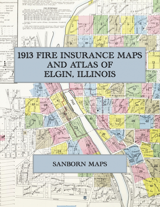
Sanborn Maps
Facsimile of the 1915 Sanborn fire-insurance atlas of Decatur, Illinois, reproduced in full color from the Library of Congress copy. It covers the whole city of 42,000 people, from the stores, banks, hotels and theatres around Lincoln Square and Central Park, through the Wabash, Illinois Central and Illinois Traction yards, the Staley starch works and the Wabash shops, to Millikin University, Fairview Park and the residential streets out to Johns Hill, Riverside and the Sangamon River.The eighty-two numbered sheets work block by block from the stores, banks, hotels and theatres around Lincoln Square and along Main Street, Water Street, Merchant Street, Prairie Avenue, William Street, North Street and Eldorado Street - the County Court House and Jail, the City Offices, the Post Office, the Decatur Free Public Library, the Armory, the Masonic and Eldorado Masonic temples, the Powers and Protective League Life buildings, the Lincoln Square, Empress and Bijou theatres, the St. Nicholas, St. James, Orlando and Burton hotels, the Elks’ Club House, the Decatur Club, the Turn Hall and the Y. M. C. A. and Y. W. C. A. buildings - through the Wabash depots, round house and car and locomotive shops, the Illinois Central depots, the Vandalia and C. H. & D. freight houses, the Illinois Traction System’s car shops, freight house and transfer house, the Decatur Railway and Light Company’s car barns, gas works and power house, the A. E. Staley starch works, the American Hominy Company’s grain elevator, mill and Plant C, the Shellabarger, Suffern Hunt and S. Hunt grain elevators and mills, the H. Mueller plumbing-supply foundry and storage houses, the Faries check-rower wire and brass works, the Union Iron Works, the Decatur Bridge and Leader boiler works, the Chambers, Bering & Quinlan agricultural-machinery works, the Decatur Coal Company’s mine shafts, the Decatur brick works, the Decatur and Miller breweries, the Danzeisen and Decatur packing houses, the Loose-Wiles biscuit bakery, the Polar Ice works, the E-Z Opener Bag, Decatur Coffin and Walrus soda-fountain factories, the lumber yards, wholesale grocers and oil companies and the City Water Works on the Sangamon, to the Decatur and Macon County Hospital, St. Mary’s Hospital and the Wabash Employees’ Hospital, the Anna B. Millikin Home, the Illinois Pythian Home, St. Theresa Academy, James Millikin University, the High School and the ward schools, the St. James and St. Patrick’s Catholic churches and the Protestant churches, Central Park, Fairview Park, Dreamland Park and the Country Club, and the residential streets of East Decatur, Johns Hill, Oakland, Riverside and the West End.In 1915 the Sanborn Map Company of New York surveyed Decatur for the fire-insurance trade, drawing the business district and inner blocks at fifty feet to the inch and the outer residential districts at one hundred feet to the inch. Every building is shown to scale and color-coded for construction (yellow for frame, pink for brick, blue for stone), with heights, uses, windows, party walls, hydrants, water mains and fire stations all marked. The index lists every street and every named business, church, school, hotel, mill and works with the sheet it appears on, and the key map places the colored sheet grid over the whole city.This Exile Books edition is an unabridged facsimile republication of the atlas: the title sheet, the index, the map of the congested district, the key map and all eighty-two numbered map sheets, printed at 8.5 x 11 inches on premium color paper. Ideal for local historians, genealogists, architects, preservationists and anyone tracing a Decatur address back to 1915.