Sanborn Maps
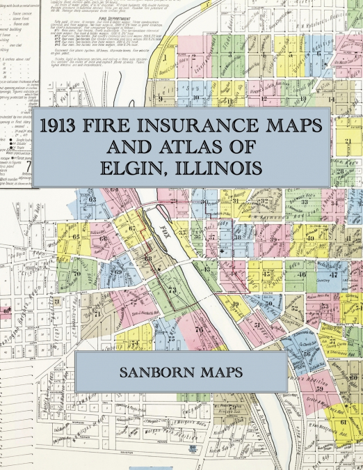
Facsimile of the 1913 Sanborn fire-insurance atlas of Elgin, Illinois, reproduced in full color from the Library of Congress copy. It covers the whole city of 28,000 people on both banks of the Fox River, from the stores, banks and theatres of Chicago Street, Grove Avenue and Du Page Street, through the Elgin National Watch Company’s factory and the milk, butter, shoe and furniture works, to the residential additions on every side, Lords Park and the Illinois Northern Insane Hospital.The eighty-one numbered sheets work block by block from the stores, banks, hotels and theatres along Chicago Street, Grove Avenue, Du Page Street, Douglas Avenue, Spring Street, State Street and Villa Street - the City Hall, the Post Office, the Gail Borden Public Library, the Grand Opera House, the Coliseum, the Temple, Star and Orpheum moving-picture theatres, the Masonic Hall, the Elgin National, Home National and Union National bank buildings, the Spurling Block, the Hubbard office building, the Daily News building, the Kelley, Columbia, Washington, Fosgate and Ramsey hotels and the Y. M. C. A. - through the Chicago & North Western depot and West Side station, the Chicago, Milwaukee & St. Paul depots and engine house, the Aurora, Elgin & Chicago car barn and transformer station, the Elgin National Watch Company’s factory, offices and observatory, the Illinois Watch Case Company, Borden’s Condensed Milk Company’s Elgin branch and malted-milk department, the Elgin Butter Tub, Silver Plate, Rug, Mattress, Metal Novelty, Tool Works, Brass and Electrical, Regalia and Wind Power and Pump companies, the Elgin Manufacturing Company’s foundry, the Illinois Hydraulic Stone Company, the International Voting Machine Company, the Woodruff & Edwards school-desk works, the Western Thread and Western Casket Hardware companies, the Selz, Schwab shoe factory, the Leath furniture factory, the Cutter & Crossette shirt factory, the Seybold piano and organ works, the David C. Cook Publishing Company and the Brethren Publishing House, the Elgin National and Eagle breweries, the Kerber packing house, the creameries and milk depots, the lumber and coal yards, the United Gas and Electric gas plant and the City Water Works, to St. Joseph’s and Sherman hospitals, the Illinois Northern Insane Hospital, the Elgin Academy, the High School, the Metropolitan Business College and the ward schools, the Baptist, Congregational, Methodist, Universalist, Episcopal, Lutheran, Swedish and Norwegian-Danish churches, St. Mary’s and St. Joseph’s Catholic churches, Lords Park and its pavilion, the Dunham stock farm near Wayne, and the residential additions on both sides of the river.In 1913 the Sanborn Map Company of New York surveyed Elgin for the fire-insurance trade, drawing the city at fifty feet to the inch and the Illinois Northern Insane Hospital at one hundred feet to the inch. Every building is shown to scale and color-coded for construction (yellow for frame, pink for brick, blue for stone), with heights, uses, windows, party walls, hydrants, water mains and fire stations all marked. The index lists every street and every named business, church, school, hotel, mill and works with the sheet it appears on, and the key map places the colored sheet grid over the whole city.This Exile Books edition is an unabridged facsimile republication of the atlas: the title sheet, the index, the map of the congested district, the key map and all eighty-one numbered map sheets, printed at 8.5 x 11 inches on premium color paper. Ideal for local historians, genealogists, architects, preservationists and anyone tracing a Elgin address back to 1913.