Sanborn Maps
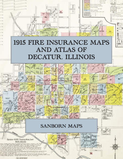
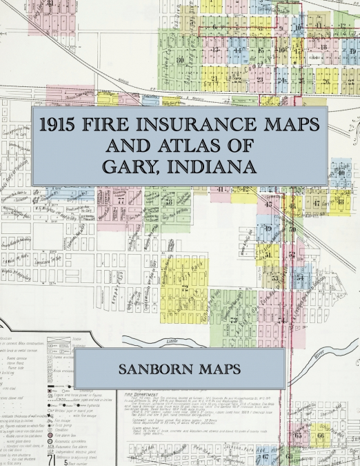
Facsimile of the 1915 Sanborn fire-insurance atlas of Gary, Indiana, reproduced in full color from the Library of Congress copy. It covers the whole new steel city of 30,000 people between the Grand and Little Calumet Rivers, from the stores, banks and hotels of Broadway and Washington Street and the Gary Land Company’s first subdivision, through the railroad depots and yards along the Wabash and the Michigan Central, to the immigrant churches, Tolleston, Glen Park, Clark Station and the new additions to the south and west.The eighty-one numbered sheets work block by block from the stores, banks, hotels and theatres along Broadway, Washington Street, Massachusetts Street, Adams Street, Fifth Avenue, Seventh Avenue and Eleventh Avenue - the City Building, the Police Department, the new and old Post Offices, the Gary Public Library, the Commercial Club rooms, the Gary Post and Gary Tribune printing offices, the Orpheum Theatre, the Gary, Sidney, Tremont, Waldo, Kirk, Linden, Park, Elks’, Delaware, Columbia and Commercial hotels, the Kirk Flats and the Brant, Honeymoon and Nedra apartments - through the Union Depot, the Lake Shore & Michigan Southern, Michigan Central, Wabash, Pittsburgh, Fort Wayne & Chicago, New York, Chicago & St. Louis and Gary & Western depots, the Baltimore & Ohio freight depot, the Chicago, Lake Shore & South Bend electric depot, the Gary & Interurban car barns, the stock pens at Clark Station, the Gary Land Company’s stable and storehouses, the Gary Heat, Light and Water Company’s offices, pipe yard and pumping station, the Calumet Mill Works, the Semi Steel Foundry, the Gary Mill Works, the Gary Granite Company and Mohr & Dittrich stone cutting, the Olson cement-block factory, the Armour and South Shore cold-storage and ice plants, the Standard Oil station, the Atlas, Blatz, Centlivre, Gottfried, Schoenhofen and Seipp beer depots, the National Biscuit warehouse, the Gary Baking Company, the Manhattan, Gary, Glen Park and Tolleston lumber yards and the coal and supply yards, to the Gary General and Mercy hospitals, the Campbell Settlement Friendship House and the Neighborhood House, the Emerson, Jefferson, Froebel and Beveridge public schools and the Holy Angels School, the First Baptist, Methodist, Presbyterian and Congregational churches, Christ Church, Holy Angels, St. Hedwig’s Polish, St. Emery, Holy Trinity Slavish and Croatian Catholic churches, the Greek, Servian and Romanian churches, Congregation Beth-El and the synagogue on Adams Street, and the residential streets of the first subdivision, Tolleston, Glen Park, Clark Station and the Highland Park and South Broadway additions.In 1915 the Sanborn Map Company of New York surveyed Gary for the fire-insurance trade, drawing the city at fifty feet to the inch and the outlying subdivisions at one hundred feet to the inch. Every building is shown to scale and color-coded for construction (yellow for frame, pink for brick, blue for stone), with heights, uses, windows, party walls, hydrants, water mains and fire stations all marked. The index lists every street and every named business, church, school, hotel, mill and works with the sheet it appears on, and the key map places the colored sheet grid over the whole city.This Exile Books edition is an unabridged facsimile republication of the atlas: the title sheet, the index, the map of the congested district, the key map and all eighty-one numbered map sheets, printed at 8.5 x 11 inches on premium color paper. Ideal for local historians, genealogists, architects, preservationists and anyone tracing a Gary address back to 1915.