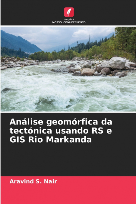
Análise geomórfica da tectónica usando RS e GIS Rio Markanda

Análise geomórfica da tectónica usando RS e GIS Rio Markanda

Aravind S. Nair

42,60 €
IVA incluido
Disponible
Editorial:
KS OmniScriptum Publishing
Año de edición:
2024
Materia
Ciencias de la tierra/geociencias
ISBN:
9786207690725
42,60 €
IVA incluido
Disponible
Añadir a favoritos

A cintura orogénica dos Himalaias, formada como resultado de processos tectónicos de colisão, mostra abundantes evidências de atividade neotectónica, tectónica ativa e ocorrência de sismos históricos. A sua zona de deformação frontal é caracterizada, em alguns segmentos, por vales longitudinais intermontanhosos (duns). Estes segmentos frontais dos Himalaias são marcados pela ocorrência de múltiplas frentes de montanha (Kothyari, G., 2010; Lee, C. S L, 2010). O principal objetivo é realizar uma análise topográfica usando dados DEM e cálculo de índices geomórficos para decifrar a deformação tectónica, preparar um mapa geomórfico da área de estudo e análise dos processos de superfície usando dados de deteção remota, mapeamento de parâmetros de planificação do canal, tais como perfil longitudinal, hipsometria, índice de gradiente de fluxo e análise dos processos fluviais em resposta à deformação tectónica e, finalmente, integrar todos os dados para modelar a resposta geomórfica da bacia do rio Markanda à deformação tectónica.

Artículos relacionados

  • Polarimetric SAR Techniques and Applications
    Carlos López-Martínez / Juan Manuel Lopez-Sanchez
    An increasing number of spaceborne Synthetic Aperture Radar (SAR) systems have been equipped with polarimetric capabilities: ALOS and ALOS-2, Radarsat-2, TerraSAR-X, Envisat-ASAR, Sentinel-1a/b, etc. Future mission will still present this type of diversity: RCM, SAOCOM, Cosmo-Skymed 2nd generation or PAZ. Polarimetry allows sensitivity to the structural and geometric properties...
    Disponible

    59,61 €

  • Innovative Strategies and Frameworks in Climate Change Adaptation
    Alexander G. Flor / Alexander GFlor / Benjamina Gonzalez Flor
    The changes the earth is currently undertaking has been at the forefront of scientific discourse in recent years. Humans as a species have needed to react to these changes and shift their behavior accordingly. Innovative Strategies and Frameworks in Climate Change Adaptation: Emerging Research and Opportunities is a critical scholarly resource that examines the relationship bet...
    Disponible

    216,16 €

  • Air Quality Monitoring and Forecasting
    Air quality is personal. Its management is highly so. Asthmatic or air-pollutant-sensitive individuals depend on accurate air quality forecasts to help manage their daily activities.  However, the adverse effects of poor air quality on public health and visibility extend far beyond the daily time horizon. Pneumonic and cardiac vascular responses of individuals in all age groups...
    Disponible

    59,74 €

  • Application of Artificial Neural Networks in Geoinformatics
    Saro Lee
    Recently, a need has arisen for prediction techniques that can address a variety of problems by combining methods from the rapidly developing field of machine learning with geoinformation technologies such as GIS, remote sensing, and GPS. As a result, over the last few decades, one particular machine learning technology, known as artificial neural networks, has been successfull...
    Disponible

    59,81 €

  • Coastal Sea Levels, Impacts and Adaptation
    Extreme sea levels can lead to hazardous events, such as coastal flooding, erosion, or salt water intrusion, with-wide ranging environmental, societal, and economic consequences. In combination with climate-driven sea-level rise, and, potentially, additional changes in storminess, dynamic wave contributions, and tidal dynamics, the adverse consequences of extreme oceanographic ...
    Disponible

    75,97 €

  • Checklist of Papuasian Orchids
    Paul Ormerod
    This is the most comprehensive account to date of all Papua New Guineas wild orchids and will no doubt prove to be the essential reference to PNG's orchids for all botanists, ecologists and orchid enthusiasts for decades to come. All types and relevant data including where published are listed and the herbariums where they are kept. All synonymous names, where published and...
    Disponible

    59,91 €

Otros libros del autor

  • Geomorphologische Analyse der Tektonik mit RS und GIS Markanda River
    Aravind S. Nair
    Der orogenetische Gürtel des Himalaya, der durch tektonische Kollisionsprozesse entstanden ist, weist zahlreiche Belege für neotektonische Aktivitäten, aktive Tektonik und das Auftreten historischer Erdbeben auf. Seine frontale Deformationszone ist in einigen Abschnitten durch längliche Zwischentäler (duns) gekennzeichnet. Solche frontalen Abschnitte des Himalaya sind durch das...
    Disponible

    42,60 €

  • Analyse géomorphologique de la tectonique à l’aide de la RS et du SIG Rivière Markanda
    Aravind S. Nair
    La ceinture orogénique de l’Himalaya, formée à la suite de processus tectoniques de collision, présente de nombreuses preuves d’activité néotectonique, de tectonique active et d’occurrence de tremblements de terre historiques. Sa zone de déformation frontale est caractérisée, dans certains segments, par des vallées longitudinales intermontagneuses (duns). Ces segments frontaux ...
    Disponible

    42,60 €

  • Analisi geomorfica della tettonica mediante RS e GIS Fiume Markanda
    Aravind S. Nair
    La cintura orogenica dell’Himalaya, formatasi in seguito a processi tettonici di collisione, mostra abbondanti prove di attività neotettonica, tettonica attiva e il verificarsi di terremoti storici. La sua zona di deformazione frontale è caratterizzata, in alcuni segmenti, da valli longitudinali intermontane (duns). Questi segmenti frontali dell’Himalaya sono caratterizzati dal...
    Disponible

    42,60 €

  • Variation spatio-temporelle des ressources naturelles de Kudapanakunnu Grama Panchayath
    Aravind S. Nair
    La présente étude porte sur les 'Applications de la télédétection et du SIG pour l’identification des variations spatio-temporelles des ressources naturelles de Kudapanakunnu Grama Panchayath et sa transformation foncière', réalisée en trois phases. Dans la deuxième phase, les cartes thématiques modifiées ont été améliorées avec la banque de données de Google Earth et soumises ...
  • Variazione spazio-temporale delle risorse naturali del KGP
    Aravind S. Nair
    Il presente studio riguarda le 'Applicazioni del telerilevamento e del GIS per l’identificazione delle variazioni spazio-temporali delle risorse naturali del Kudapanakunnu Grama Panchayath e della sua trasformazione fondiaria', intrapreso in tre fasi. Nella seconda fase, le mappe tematiche modificate sono state migliorate con la banca dati di Google Earth e sottoposte ad ArcGIS...
  • Räumlich-zeitliche Variation der natürlichen Ressourcen von KGP
    Aravind S. Nair
    Die vorliegende Studie befasst sich mit den 'Anwendungen von Fernerkundung und GIS zur Identifizierung raum-zeitlicher Variationen der natürlichen Ressourcen von Kudapanakunnu Grama Panchayath und seiner Landtransformation', die in drei Phasen durchgeführt wurde. In der zweiten Phase wurden die modifizierten thematischen Karten mit der Google Earth-Datenbank verbessert und ArcG...