Topographic Mapping

Topographic Mapping

Topographic Mapping

John N. Hatzopoulos / John NHatzopoulos

125,77 €
IVA incluido
Consulta disponibilidad
Editorial:
Universal-Publishers.com
Año de edición:
2008
Materia
Geografía
ISBN:
9781581129861
Añadir a favoritos

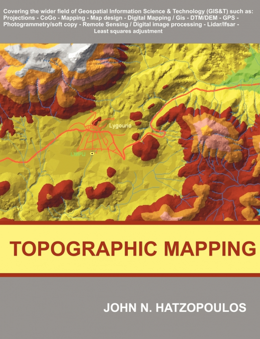
This book is addressed to students and professionals and it is aimed to cover as much as possible the wider region of topographic mapping as it has been evolved into a modern field called geospatial information science and technology. More emphasis is given to the use of scientific methods and tools that are materialised in algorithms and software and produce practical results. For this reason beyond the written material there are also many educational and professional software programs written by the author to comprehend the individual methodologies which are developed. Target of this book is to provide the people who work in fields of applications of topographic mapping (environment, geology, geography, cartography, engineering, geotechnical, agriculture, forestry, etc.) a source of knowledge for the wider region so that to help them in facing relevant problems as well as in preparing contracts and specifications for such type of work assigned to professionals and evaluating such contracting results. It is also aimed to be a reference of theory and practice for the professionals in Topographic Mapping. This book applies a didactics method where with a relatively small effort someone can digest a quite large volume of simple or complicated material of knowledge at a desirable scientific depth within a relative short time interval. The objective that educated people must be 'smarter than the machine' and not to treat the machine as a 'black box' being 'button pushers' has been achieved, through the author’s experience in USA and Greece, with relative success by adopting this didactics technique. There are 11 chapters and two Appendices including: Reference systems and Projections, Topographic instruments and Geometry of coordinates, Conventional construction of a topographic map, Design and reproduction of a thematic map, Digital Topographic mapping - GIS, Digital Terrain Models (DTM / DEM), GPS, methods of Photogrammetry, Remote Sensing, new technologies LIDAR, IFSAR, the method of Least Squares adjustment, Description of educational software accompanying the text.

Artículos relacionados

  • Tourism and Indigeneity in the Arctic
    This is the first book to exclusively address tourism and indigenous peoples in the circumpolar North. It examines how tourism in indigenous communities is influenced by academic and political discourses and how communities are influenced by tourism. The volume seeks to challenge stereotypical understandings of indigenousness and indigeneity. ...
    Disponible

    193,92 €

  • Playas en la costa caribeña colombiana
    Diva Marcela Piamba Tulcán / Eduardo Silva Peña / Eliana Díaz Muñoz / Juliana Javierre / Mónica María Del Valle Idárraga / Yessica Chiquillo
    En este libro, reconstruimos el surgimiento y transformación de varias playas del hoy llamado Caribe colombiano, como playas turísticas, entre 1950 y 1990. Mediante un análisis de archivos periodísticos y audiovisuales y de narraciones de Amira de la Rosa, Jaime Manrique, Fanny Buitrago, Tomás González, entre otros, desanudamos el cronotopo playas, tomando como foco Prado Mar y...
    Disponible

    20,75 €

  • Coastal erosion dynamics of Dakar, Senegal
    Ibrahima Pouye
    The advancing sea resulting from sea level rise, combined with the effects of climate change and hydrodynamic agents, is affecting the coastal morphology of the Dakar region. As a result, a reduction of coastal areas is observed in some coastal zones, causing human displacement inland and disrupting economic activities such as fishing and tourism. Coastal erosion makes the coas...
  • Morfometria da bacia do Karasu
    ALİ İMAMOĞLU / Merve Yılmaz
    A área de investigação situa-se na secção central de Kızılırmak da região da Anatólia Central. As linhas de secção de água do ribeiro Karasu limitam a área de investigação. A ribeira de Karasu, que constitui a área de investigação, forma a sub-bacia do rio Delice, um dos importantes braços do Kızılırmak. O ribeiro Karasu, que se estende aproximadamente na direção este-oeste, de...
  • Geographie Information und Technologie
    Hossein Gholami / Maryam Marani-Barzani / Shahide Dehghan
    In den letzten Jahrzehnten hat die geografische Informationstechnologie weite Verbreitung und Anwendung in vielen Arten von Organisationen gefunden und in verschiedenen Bereichen der Gesellschaft große Aufmerksamkeit erlangt. Es werden die wichtigsten Triebkräfte und Anwendungen der geografischen Informationstechnologie in Organisationen ermittelt und ein Überblick über die Anw...
  • Géographie, information et technologie
    Hossein Gholami / Maryam Marani-Barzani / Shahide Dehghan
    Au cours des dernières décennies, les technologies de l’information géographique se sont répandues et sont devenues applicables dans de nombreux types d’organisations et ont suscité une grande attention dans différents secteurs de la société. Identifier les principaux moteurs et applications de la technologie de l’information géographique dans les organisations et fournir une v...

Otros libros del autor

  • Practical Philosophy of Thought and Virtue
    John N. Hatzopoulos / John NHatzopoulos
    In order for someone to deal with philosophy it is not necessary to have particular qualifications, since each individual has a very powerful logic. The use of logic in combination with the freedom of thought by a free person are enough in order to become a philosopher. For this reason the present work is addressed as much to the general public as well as to scientists of any s...