The Exuma Guide

The Exuma Guide

Stephen J Pavlidis

69,92 €
IVA incluido
Disponible
Editorial:
Seaworthy Publications, Inc.
Año de edición:
2024
ISBN:
9781948494830
69,92 €
IVA incluido
Disponible
Añadir a favoritos

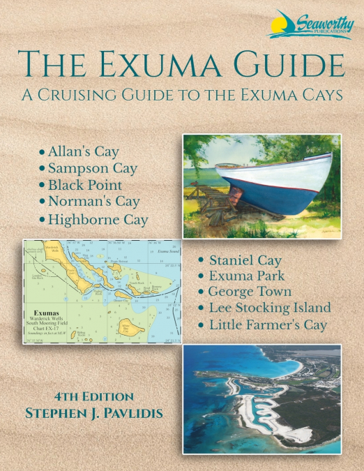
This is the new 4th Edition of The Exuma Guide, a cruising guide for all of the Exuma Cays, including the Exuma Cays Land and Sea Park. It includes every harbor, cove, pass, and anchorage as well as every major reef and sand bank throughout the entire island chain. Features new full-color charts showing latitude, longitude, and distance along with aerial photos, and additional aids to navigation. With full-color aerial harbor photos and full-color sketch charts, it contains extremely accurate hydrographic data based on personally conducted independent surveys by the author. The Exuma Guide 4th ed. also includes extensive navigational instructions, GPS waypoints, approaches and routes, anchorages, services, dive sites, history, basic information for cruising in the Exumas, extensive appendices, index, bibliography, and more. Features: New Completely Updated Fourth Edition of this Pavlidis Guide! Full-color Aerial Photos, All Original Charts Based on Perso.nal Surveys Conducted by the Author, Extensive Navigational Instructions, and GPS Waypoints. Coverage Area: Allan’s Cay Highborne Cay Norman’s Cay Exuma Park Sampson Cay Staniel Cay Black Point Little Farmer’s Cay George Town Lee Stocking Island.

Artículos relacionados

Otros libros del autor

  • A Cruising Guide to the Turks and Caicos Islands
    Stephen J Pavlidis
    A Cruising Guide to The Turks and Caicos Islands, 3rd ed.: with expanded Dominican Republic coverage, is a new, updated and improved version of the Turks and Caicos Guide we originally produced during the 1990s. This in-depth cruising guide provides coverage of the entire Turks and Caicos region, including significantly-expanded coverage of the Dominican Republic. The book c...
    Disponible

    39,70 €

  • A Cruising Guide to the Southern Bahamas
    Stephen J Pavlidis
    A Cruising Guide to The Southern Bahamas: from Cat Island south to the Turks & Caicos, including the Dominican Republic north coast, details the waters around Cat and Conception Islands, Rum Cay, San Salvador, Long Island, the Jumentos & Ragged Island, Crooked/Acklins, Mayaguana, Inagua, the Turks and Caicos as well as Dominican Republic North Coast Ports. With full-color aeri...
    Disponible

    62,86 €

  • The Exuma Guide
    Stephen J Pavlidis
    The Exuma Guide, 3rd ed.: a cruising guide for all of the Exuma Cays, including the Exuma Cays Land and Sea Park. I includes every harbor, cove, pass and anchorage as well as every major reef and sand bank throughout the entire island chain. Features new full-color charts showing latitude, longitude and distance along with aerial photos, and additional aids to navigation. With...
  • A Cruising Guide to the Northwest Caribbean
    Stephen J Pavlidis
    Cruising Guide to The Northwest Caribbean, 2nd ed details the waters of the Northern Coast of Jamaica, the Cayman Islands, Honduras and the Bay islands, and Guatemala including the Río Dulce. With full-color aerial harbor photos and 73 full-color sketch charts, it contains extremely accurate hydrographic data based on personally conducted independent surveys by the author. The ...
    Disponible

    62,51 €

  • A Cruising Guide to Puerto Rico
    Stephen J Pavlidis
    A Cruising Guide to Puerto Rico, 3rd Ed including the Spanish Virgin Islands and the north coast ports of the Dominican Republic: is the most comprehensive guide ever written for Puerto Rico. Its 53 detailed, full-color charts contain extremely accurate hydrographic data based on personally conducted independent surveys by the author. It also contains GPS waypoints and extensiv...
    Disponible

    50,10 €

  • A Cruising Guide to the Windward Islands
    Stephen J Pavlidis
    A Cruising Guide to the Windward Islands, 2nd ed. is the completely updated version of Steve Pavlidis' comprehensive Windward Islands guide that covers the stretch of islands from Martinique to Trinidad and Tobago known as the Windward Islands. Now in full-color with many new charts and full-color aerial photos of principal harbors. It contains 370 pages of text with 112 full-c...
    Disponible

    68,83 €