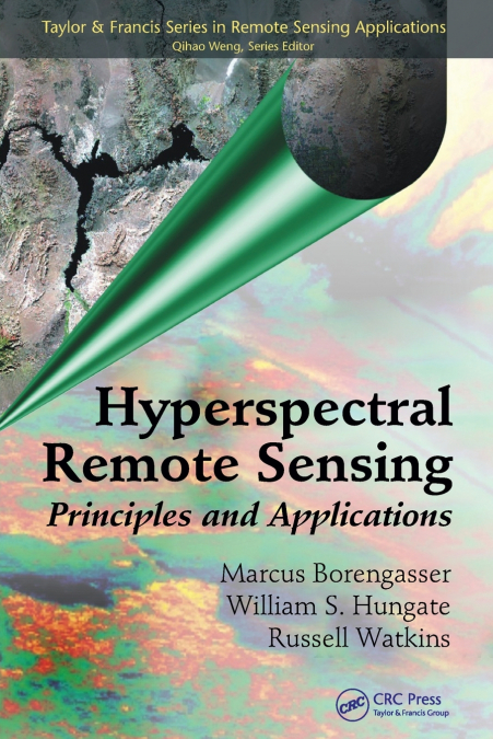
Hyperspectral Remote Sensing

Hyperspectral Remote Sensing

Marcus Borengasser / Russell Watkins / William S. Hungate

130,63 €
IVA incluido
Disponible
Editorial:
Taylor & Francis Ltd
Año de edición:
2023
Materia
Sistemas y tecnología de captación de imágenes
ISBN:
9781138747180
130,63 €
IVA incluido
Disponible
Añadir a favoritos

Land management issues, such as mapping tree species, recognizing invasive plants, and identifying key geologic features, require an understanding of complex technical issues before the best decisions can be made. Hyperspectral remote sensing is one the technologies that can help with reliable detection and identification. Presenting the fundamentals of remote sensing at an introductory level, Hyperspectral Remote Sensing: Principles and Applications explores all major aspects of hyperspectral image acquisition, exploitation, interpretation, and applications. The book begins with several chapters on the basic concepts and underlying principles of remote sensing images. It introduces spectral radiometry concepts, such as radiance, irradiance, flux, and blackbody radiation; covers imaging spectrometers, examining spectral range, full width half maximum (FWHM), resolution, sampling, signal-to-noise ratio (SNR), and multispectral and hyperspectral sensor systems; and addresses atmospheric interactions. The book then discusses information extraction, with chapters covering the underlying physics principles that lead to the creation of an image and the interpretation of the image’s information. The final chapters describe case studies that illustrate the use of hyperspectral remote sensing in agriculture, environmental monitoring, forestry, and geology.After reading this book, you will have a better understanding of how to evaluate different approaches to hyperspectral analyses and to determine which approaches will work for your applications.

Artículos relacionados

  • Recent Advances in Remote Sensing for Crop Growth Monitoring
    Tao Cheng
    This special issue book gathers sixteen papers focusing on the application of remote sensing techniques to crop growth monitoring. The studies feature multi-scale and multi-source remotely sensed data, a combination of empirical and physical approaches, and a range of topics on crop growth parameters estimation and crop mapping. It is recommended to graduate students, professor...
    Disponible

    98,94 €

  • Geospatial Computational Methods
    John N. Hatzopoulos / Nikolaos J. Hatzopoulos
    This book is for students and professionals involved in Geospatial Computations and related areas such as Geomatics, Surveying Engineering, Geoinformatics, Geospatial Information Science and Technology (GIS&T), Geography, Geology, Agriculture, and Geointelligence. More emphasis is given to using scientific methods and tools materialized in algorithms and software to produce pra...
    Disponible

    136,80 €

  • Ethics, Machine Learning, and Python in Geospatial Analysis
    In geospatial analysis, navigating the complexities of data interpretation and analysis presents a formidable challenge. Traditional methods often need to efficiently handle vast volumes of geospatial data while providing insightful and actionable results. Scholars and practitioners grapple with manual or rule-based approaches, hindering progress in understanding and addressing...
    Disponible

    334,36 €

  • Ethics, Machine Learning, and Python in Geospatial Analysis
    In geospatial analysis, navigating the complexities of data interpretation and analysis presents a formidable challenge. Traditional methods often need to efficiently handle vast volumes of geospatial data while providing insightful and actionable results. Scholars and practitioners grapple with manual or rule-based approaches, hindering progress in understanding and addressing...
    Disponible

    255,43 €

  • Remote Sensing and Geographic Information Systems
    Azhar ul Haque Sario
    'Remote Sensing and Geographic Information Systems: 2024' is a comprehensive and forward-looking guide that delves into the evolving world of geographic information systems (GIS) and remote sensing technologies as they stand in the year 2024. This book serves as a critical resource for anyone interested in understanding how the integration of cutting-edge technologies like clou...
  • MATHEMATICAL FOUNDATION OF GIS
    HUAYI WU WOLFGANG KAINZ
    Geographic Information Systems (GIS) originated in the 1960s and have since become the primary tool and science for handling spatial data.This unique compendium introduces essential mathematical knowledge related to GIS, including mathematical logic, geometry, algebra, topology, set theory, graph theory, probability theory and statistics, as well as uncertainty theory. These to...
    Disponible

    105,82 €