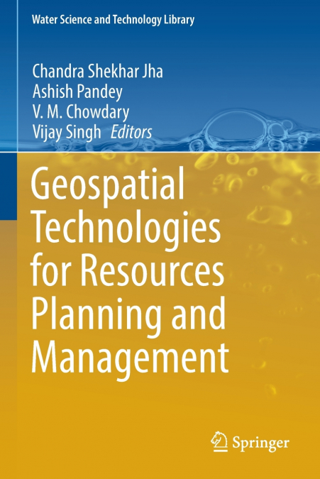
Geospatial Technologies for Resources Planning and Management

Geospatial Technologies for Resources Planning and Management


211,60 €
IVA incluido
Disponible
Editorial:
Springer Nature B.V.
Año de edición:
2023
Materia
Geología y la litosfera
ISBN:
9783030989835
211,60 €
IVA incluido
Disponible
Añadir a favoritos

This book focuses on the application of geospatial technologies for resource planning and management for the key natural resources, e.g. water, agriculture and forest as well as the decision support system (DSS) for infrastructure development. We have seen in the past four decades that the growing complexities of sustainable management of natural resources management have been very challenging. The book has been written to leverage the current geospatial technologies that integrate the remotely sensed data available from various platforms, the precise locational data providing geospatial intelligence, and the advanced integration tools of Geographical Information Systems (GIS).Geospatial technologies have been used for water resources management employing geomorphological characteristics, analysis of river migration pattern, understanding the large-scale hydrological process, wet land classification and monitoring, analysis of glacial lake outburst flood (GLOF), assessment of environmental flow and soil erosion studies, water quality modelling and assessment and rejuvenation of paleochannels through groundwater recharge.Geospatial technologies have been applied for crop classification and mapping, soil moisture determination using  RISAT-1 C-band and PALSAR-2 L-band sensors, inventory of horticulture plantations, management of citrus orchards, crop yield forecasting, rice yield estimation, estimation of evapotranspiration and its evaluation against lysimeter and satellite-based evapotranspiration product for India to address the various issues of the agricultural system management.Geospatial technologies have been used for generation of digital elevation model, urban dynamics assessment, mobile GIS application at grass root level planning, cadastral level developmental planning and e-governance applications, system dynamics for sustainable development, micro-level water resources planning, site suitability for sewage treatment plant, traffic density assessment, geographical indications of India, archaeological applications and disasters interventions to elaborate various issues of DSS for infrastructure development and management.Geospatial technologies have been employed for the generation and reconciliation of the notified forest land boundaries, and also the land cover changes analysis within notified forest areas, forest resource assessment, management and monitoring and wildlife conservation and management.This book aims to present high-quality technical case studies representing the recent developments in the 'application of geospatial technologies for resource planning and management'. The editors hope that this book will serve as a valuable resource for scientists and researchers to plan and manage land and water resources sustainably.

Artículos relacionados

  • Exploration Science
    Dr Peter T Scott
    About Exploration ScienceHave you wondered what the science of geology is all about?Together we will explore of the surface and sub-surface of the Earth, the sub-branches of geology, including mineralogy, petrology (rocks), palaeontology (fossils), geochemistry, seismology (earthquakes), engineering geology, and many more.The scientific method used by all scientists as well as ...
    Disponible

    30,12 €

  • Fossils, Dinosaurs and Cave Men
    Patrick Nurre
    This textbook is a high school, semester study of the differences between the Biblcal and secular views of fossils, dinosaurs, and cave men.  Topics include the cause and mechanism for a global flood, the geologic time table, living fossils, the Tower of Babel, modern classification of dinosaurs, and more.  Students will also learn to interpret the geologic column from a Biblic...
    Disponible

    43,86 €

  • Adventures in Earth Science
    Dr Peter T Scott
    ADVENTURES in EARTH SCIENCE is not just an in-depth textbook but a series of adventures across seven continents and beyond in the sciences of astronomy, geology, meteorology and oceanography. It has been written with over forty years of experience in studying, researching and teaching earth science. Whilst it has been designed for senior high school and junior university or col...
    Disponible

    142,25 €

  • Super Continent Une gigantesque illusion
    Anil Thanvi
    J’ai une vision totalement nouvelle de la géologie de la Terre. Les lecteurs peuvent ressentir une nouvelle atmosphère de la géologie lorsqu’ils approfondissent chaque partie de ce livre. J’ai développé ce type de pensée après avoir étudié différentes branches de la science. Je commence donc par quelques éléments de base communs à l’ensemble de l’univers ou, en d’autres termes,...
  • Supercontinente
    Anil Thanvi
    Eu tenho um pensamento completamente novo sobre a geologia da Terra. Os leitores podem sentir uma nova atmosfera de geologia quando aprofundam cada parte deste livro. Desenvolvi este tipo de pensamento após o estudo de diferentes ramos da ciência. Assim, começando com algumas coisas básicas comuns em todo o universo ou, por outras palavras, estou a ligar todo o universo e a apr...
  • Оценка загрязнения тяжелыми металлами донных отложений побережья сектора Газа
    Ваэль И. Альмешаль
    В данном исследовании изучалось гранулометрическое распределение песков в двух линиях исследования - приливной и шельфовой зонах вдоль побережья сектора Газа, Палестина. Кроме того, в исследовании оценивались концентрации Zn, Pb, Mn, Cu, Co и Cd в отложениях исследуемого района. Было отобрано 30 участков отбора проб, разделенных между приливной и шельфовой зонами. Гранулометрич...