Inicio > Ciencias de la tierra, geografía, medioambiente, planificación > Geografía > Geoinformatics for Spatial-Infrastructure Development in Earth and Allied Sciences
Geoinformatics for Spatial-Infrastructure Development in Earth and Allied Sciences

Geoinformatics for Spatial-Infrastructure Development in Earth and Allied Sciences


261,31 €
IVA incluido
Disponible
Editorial:
Springer Nature B.V.
Año de edición:
2024
Materia
Geografía
ISBN:
9783031709999
261,31 €
IVA incluido
Disponible
Añadir a favoritos

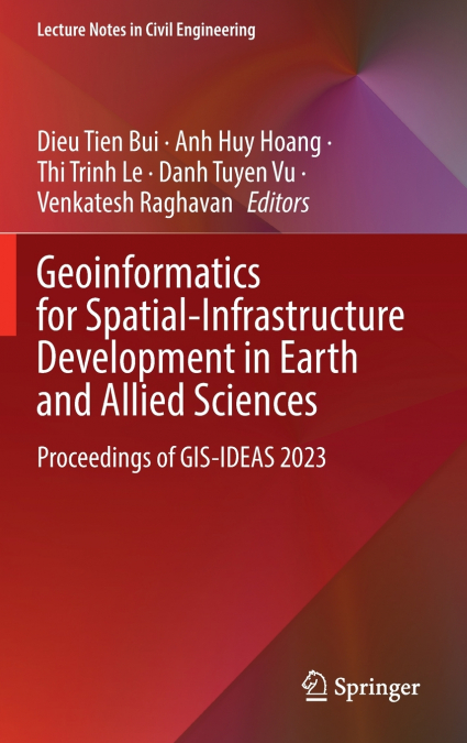
This volume gathers the latest advances, innovations, and applications in the field of GIS and geo-spatial technologies, as presented by leading researchers and engineers at the International Conference on Geoinformatics for Spatial-Infrastructure Development in Earth & Allied Sciences (GIS-IDEA), held in Hanoi, Vietnam on November 7-9 2023. The contributions cover a diverse range of topics, including geoinformatics, geomatics, geospatial AI for natural hazards, Big Data and AI in sustainable natural resource management, GIS and remote sensing for natural disaster monitoring, GIS for spatial analysis, planning and management, GeoAI for building digital maps. Selected by means of a rigorous peer-review process, they will spur novel research directions and foster future multidisciplinary collaborations.

Artículos relacionados

  • Tourism and Indigeneity in the Arctic
    This is the first book to exclusively address tourism and indigenous peoples in the circumpolar North. It examines how tourism in indigenous communities is influenced by academic and political discourses and how communities are influenced by tourism. The volume seeks to challenge stereotypical understandings of indigenousness and indigeneity. ...
    Disponible

    193,92 €

  • Playas en la costa caribeña colombiana
    Diva Marcela Piamba Tulcán / Eduardo Silva Peña / Eliana Díaz Muñoz / Juliana Javierre / Mónica María Del Valle Idárraga / Yessica Chiquillo
    En este libro, reconstruimos el surgimiento y transformación de varias playas del hoy llamado Caribe colombiano, como playas turísticas, entre 1950 y 1990. Mediante un análisis de archivos periodísticos y audiovisuales y de narraciones de Amira de la Rosa, Jaime Manrique, Fanny Buitrago, Tomás González, entre otros, desanudamos el cronotopo playas, tomando como foco Prado Mar y...
    Disponible

    20,75 €

  • Coastal erosion dynamics of Dakar, Senegal
    Ibrahima Pouye
    The advancing sea resulting from sea level rise, combined with the effects of climate change and hydrodynamic agents, is affecting the coastal morphology of the Dakar region. As a result, a reduction of coastal areas is observed in some coastal zones, causing human displacement inland and disrupting economic activities such as fishing and tourism. Coastal erosion makes the coas...
  • Morfometria da bacia do Karasu
    ALİ İMAMOĞLU / Merve Yılmaz
    A área de investigação situa-se na secção central de Kızılırmak da região da Anatólia Central. As linhas de secção de água do ribeiro Karasu limitam a área de investigação. A ribeira de Karasu, que constitui a área de investigação, forma a sub-bacia do rio Delice, um dos importantes braços do Kızılırmak. O ribeiro Karasu, que se estende aproximadamente na direção este-oeste, de...
  • Geographie Information und Technologie
    Hossein Gholami / Maryam Marani-Barzani / Shahide Dehghan
    In den letzten Jahrzehnten hat die geografische Informationstechnologie weite Verbreitung und Anwendung in vielen Arten von Organisationen gefunden und in verschiedenen Bereichen der Gesellschaft große Aufmerksamkeit erlangt. Es werden die wichtigsten Triebkräfte und Anwendungen der geografischen Informationstechnologie in Organisationen ermittelt und ein Überblick über die Anw...
  • Géographie, information et technologie
    Hossein Gholami / Maryam Marani-Barzani / Shahide Dehghan
    Au cours des dernières décennies, les technologies de l’information géographique se sont répandues et sont devenues applicables dans de nombreux types d’organisations et ont suscité une grande attention dans différents secteurs de la société. Identifier les principaux moteurs et applications de la technologie de l’information géographique dans les organisations et fournir une v...