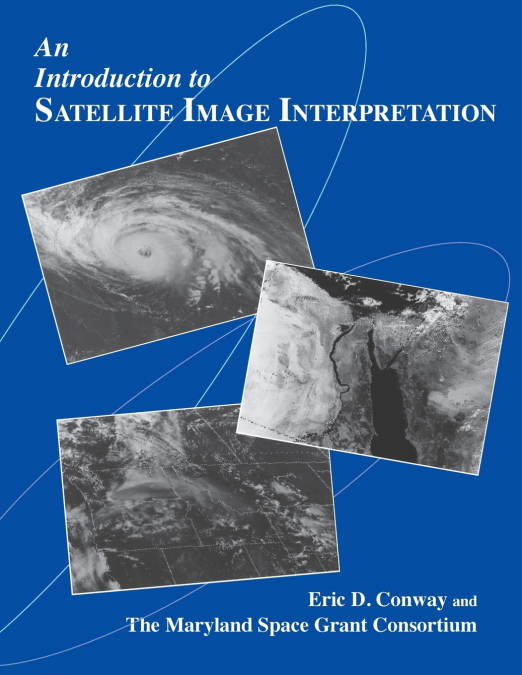
An Introduction to Satellite Image Interpretation

An Introduction to Satellite Image Interpretation

Eric D. Conway

66,98 €
IVA incluido
Disponible
Editorial:
Hopkins Fulfillment Service
Año de edición:
1997
Materia
Meteorología y climatología
ISBN:
9780801855771
66,98 €
IVA incluido
Disponible
Añadir a favoritos

Eric D. Conway and the Maryland Space Grant Consortium present a fascinating introduction to the interpretation of satellite imagery, a technology of increasing importance for a wide variety of scientific applications. Prepared in association with the National Oceanic and Atmospheric Administration (NOAA), this extensively illustrated text and accompanying CD-ROM offer a thorough overview of the use of satellite technology in Earth and planetary science, weather forecasting, and environmental research.The book covers the foundations of remote sensing, the types of satellites, and the basics of satellite image interpretation. Other topics include geographical, oceanographical applications, and atmospheric science applications of satellite imagery. With a fully indexed glossary, this well-written and thoughtfully presented text is ideal for science teachers, undergraduate and graduate students, professionals working in the field of operational meteorology, and others interested in knowing more about interpreting satellite imagery. The accompanying CD-ROM of satellite images enables the user to zoom in on many images (some of which appear in color), use overlays to identify important elements in the satellite image, and keep a notes file. The program requires a Macintosh, Windows, or Windows 95 operating system.

Artículos relacionados

  • Recent Advances in Remote Sensing for Crop Growth Monitoring
    Tao Cheng
    This special issue book gathers sixteen papers focusing on the application of remote sensing techniques to crop growth monitoring. The studies feature multi-scale and multi-source remotely sensed data, a combination of empirical and physical approaches, and a range of topics on crop growth parameters estimation and crop mapping. It is recommended to graduate students, professor...
    Disponible

    98,94 €

  • Ethics, Machine Learning, and Python in Geospatial Analysis
    In geospatial analysis, navigating the complexities of data interpretation and analysis presents a formidable challenge. Traditional methods often need to efficiently handle vast volumes of geospatial data while providing insightful and actionable results. Scholars and practitioners grapple with manual or rule-based approaches, hindering progress in understanding and addressing...
    Disponible

    334,36 €

  • Ethics, Machine Learning, and Python in Geospatial Analysis
    In geospatial analysis, navigating the complexities of data interpretation and analysis presents a formidable challenge. Traditional methods often need to efficiently handle vast volumes of geospatial data while providing insightful and actionable results. Scholars and practitioners grapple with manual or rule-based approaches, hindering progress in understanding and addressing...
    Disponible

    255,43 €

  • Men of Blood
    Martin J. Wiener / Martin JWiener / Wiener Martin J.
    ...
    Disponible

    57,76 €

  • Remote Sensing and Geographic Information Systems
    Azhar ul Haque Sario
    'Remote Sensing and Geographic Information Systems: 2024' is a comprehensive and forward-looking guide that delves into the evolving world of geographic information systems (GIS) and remote sensing technologies as they stand in the year 2024. This book serves as a critical resource for anyone interested in understanding how the integration of cutting-edge technologies like clou...
  • Morphology and Lexical Semantics
    Rochelle Lieber
    ...
    Disponible

    156,48 €